People head to the river to escape screens. The raw power of nature is the primary draw, and the feeling of disconnecting from the modern world is why we paddle. But ignoring modern technology when planning a serious river trip is a major mistake. Using digital tools does not mean you are staring at a phone while paddling through a chaotic rapid. It means you are using advanced data to plan smarter, navigate safely, and communicate when things go wrong.
Whether you are leading a private expedition or booking whitewater rafting through a professional outfitter, understanding how modern navigation tech works completely changes the dynamic of your adventure. Bringing electronics onto the water requires proper waterproofing and strategic planning, but the safety benefits are undeniable. Here is how to safely and effectively bring digital navigation into the deep river canyons.
Pre-Trip Scouting with High-Resolution Satellite Imagery
Before your boat touches the water, your navigation strategy should already be in motion. Traditional paper topographical maps are excellent, but they completely lack the visual context of modern satellite imagery. Platforms like Google Earth allow you to virtually fly down the river corridor before your trip even begins.
You can zoom in on major drops, identify exactly where the river bends aggressively, and spot potential hazards like massive undercut rocks or logical scouting eddies. This digital reconnaissance is especially critical if you are running a section of river you have never seen before. By the time you actually paddle up to the horizon line of a major rapid, your brain already has a mental blueprint of the surrounding geography. You know exactly what the shoreline looks like, giving your crew a massive tactical advantage.
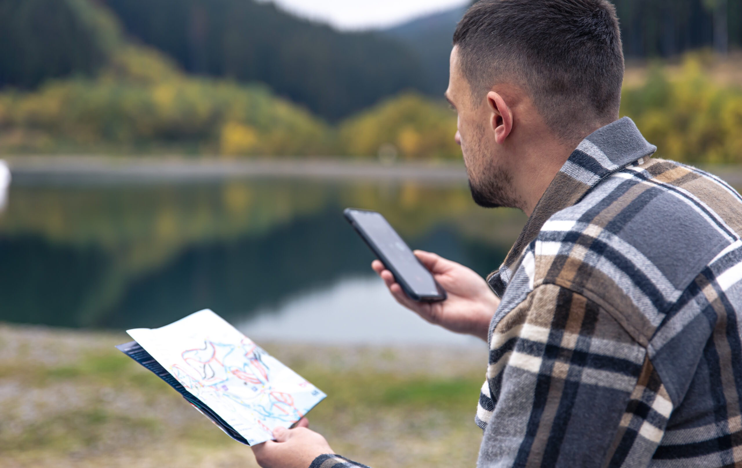
Surviving the Cellular Dead Zones with Offline Topography
The absolute golden rule of river navigation is assuming you will have zero cellular service. Deep river gorges and remote wilderness areas completely block standard cell towers. Relying on an app that needs an active data connection will leave you entirely blind the moment you leave the parking lot.
To utilize digital navigation on the water, you must adopt a strict offline mapping strategy. Applications like Gaia GPS or onX Backcountry allow you to download high-resolution topographic layers directly to your smartphone hardware before you leave home. You can drop custom digital waypoints at your exact put-in location, your intended riverside campsite, and your final take-out ramp. Even in airplane mode, your phone’s internal GPS receiver will track your exact location on that downloaded map, ensuring you never miss a takeout point hidden behind a blind bend.
Tracking River Gauges and Water Flow Data
Navigation is not just about knowing where you are physically located; it is about understanding the condition of the water beneath you. A river running at two thousand cubic feet per second requires a completely different navigational approach than that exact same river running at eight thousand. Rocks disappear, new hydraulic holes form, and the required lines through the rapids shift entirely.
Specialized river flow applications pull data directly from physical gauges managed by organizations like the United States Geological Survey. Checking these digital gauges the morning of your trip tells you exactly how fast the water is moving. This data allows you to calculate roughly how many miles you can comfortably cover in an hour, which directly impacts your navigation timeline and dictates exactly when you need to start looking for your designated campsite.
Utilizing Wearable Tech for Real-Time Pacing
Pulling a smartphone out of a dry bag in the middle of a moving river is highly risky and incredibly inconvenient. For real-time navigational data, wearable technology is the superior choice. Rugged, waterproof GPS smartwatches have completely revolutionized how river guides and private boaters track their daily progress.
With a quick glance at your wrist, you can instantly see your current mileage, your average moving speed, and your exact coordinates. This constant stream of data is vital for pacing your day. If you know your takeout ramp is still fifteen miles away and the sun is dropping rapidly, your wrist-based GPS tells you immediately that your crew needs to stop drifting and start paddling aggressively to avoid navigating unfamiliar rapids in the dark.
Establishing a Digital Lifeline with Satellite Communicators
The most critical piece of navigational technology you can bring on a river trip is a dedicated satellite communicator. Devices like a Garmin inReach do not rely on cell towers at all. They connect directly to satellite networks orbiting the earth, providing an unbreakable lifeline to the outside world.
If a raft flips in a remote canyon and a crew member sustains a severe injury, knowing your exact GPS coordinates is useless if you cannot communicate that location to search and rescue teams. These rugged devices allow you to hit a physical SOS button, transmitting your exact digital location to emergency dispatchers instantly. Furthermore, they allow you to text your shuttle driver your updated coordinates if your navigation timeline changes and you need to be picked up at an alternative boat ramp.
Navigate Your Whitewater Rafting Trip Like a Tech Pro
Technology should never replace the fundamental skills of reading moving water, understanding river hydrology, and paying attention to your physical surroundings. A digital map cannot paddle the boat for you, and a GPS watch cannot pull you back into the raft if you swim. However, when treated as a powerful supplementary tool, digital navigation adds a massive layer of safety and efficiency to your expedition. By scouting digitally, utilizing offline maps, tracking flow rates, and carrying a satellite lifeline, you ensure your crew can focus entirely on the thrill of the river.


